
Irondequoit ZIP Code Directory Areas
Monroe County’s local GIS boundary legend supplies four practical postal starting points for Irondequoit: 14609, 14617, 14621 and 14622. They are working areas for an address check, not four self-contained town districts. A postal label can cross a municipal line, and a town address may use Rochester as its postal city. The table keeps the local association and the caution together, which is the safest way to use an Irondequoit ZIP code directory.
| ZIP | Local postal association | Post office or station clue | Research note |
|---|---|---|---|
| 14609 | Rochester and portions of eastern or northern Rochester-area geography | Rochester delivery network | Verify by street. It does not identify every address as town property. |
| 14617 | Rochester, broad Irondequoit residential and Titus-area usage | Local Rochester postal delivery | Common town ZIP; the precise line remains address-specific. |
| 14621 | Rochester and the Irondequoit Branch area | Irondequoit Branch, 425 East Ridge Road, Rochester NY 14621 | Confirm the carrier route and parcel before treating it as a boundary rule. |
| 14622 | Rochester and Irondequoit lakeshore or northeast-area usage | Rochester-area delivery | Neighborhood labels and postal lines are not the same geography. |
Neither a neighborhood name nor a broad web-map shape should replace address-by-address verification. Monroe County’s parcel layer and the USPS result answer related but different questions. Preserve both when a ZIP is part of the research trail.
Rochester Postal Identity in Irondequoit
Irondequoit is legally a town, and Rochester can still be the proper postal city. That distinction is visible in the historical record as well as the current address system. The 1930 suburban directory prints parenthetical postal forms such as “Roch” and explicitly warns users not to use “Irondequoit” as a mailing address. A current assessment row can likewise show an Irondequoit property location with an owner mailing address elsewhere.
Postal city, municipality, property situs and owner mailing address should therefore remain separate fields. Combining them can create a false match or make a historical entry look like it belongs outside the town. The useful claim is often modest: USPS formatted an address a certain way, or an older directory printed a particular postal route. Neither statement proves a person’s current connection to that location.
Postal-city myth. A Rochester mailing city does not put an address outside Irondequoit, and the word Irondequoit in a record does not by itself establish the deliverable postal form. Check the exact address.
Verify an Irondequoit ZIP
The USPS ZIP Lookup Tool is the final postal check. Its By Address mode accepts Company, Street Address, Apt or Suite, City, State and an optional ZIP, then returns a standardized result. By City and State returns candidate ZIPs for that postal city. Cities by ZIP returns the cities associated with a supplied code. USPS warns that a result does not establish that a person or organization is at the address.
| Official tool | ZIP role | Other input | Result and limit |
|---|---|---|---|
| USPS By Address | Optional input and formatted output | Street, unit, city, state and company | Delivery-formatted address; validate one address at a time. |
| USPS By City/State | Output | City and state | Candidate postal areas, not a municipal boundary map. |
| Cities by ZIP | Input | Supplied ZIP | Associated cities, not proof of a person-place connection. |
| Monroe voter lookup | Supplied address field | Street number, street name, last name and date of birth | Regulated person-specific registration or polling response. |
For a new search, validate the address before entering the same location in a county portal. It reduces mismatches caused by an old street form, a missing direction or an incorrect postal city. Record the lookup date because postal assignments can change.
Monroe Parcel ZIP Layer
Monroe County’s public parcel service provides a GIS ZIP field named parceladdresszipcode along with parcel geometry and address components. The Parcel Viewer can search an address or SBL, display boundary layers and identify a polygon. This is valuable for locating a property within county map geography. It should be reconciled with USPS whenever the question is deliverability or the correct postal city.
The public feature layer is recreated weekly and joins daily real-property data to parcel geometry. It supports parcel queries, ordering, statistics and distance parameters, but it does not expose an owner-name field. Use the map result to capture SBL, address components, roll year and parcel ZIP. Then compare that output with the town’s assessment roll or the real-property portal rather than assuming a GIS field answers every record question.
The Monroe County public parcels layer documents the ZIP field, parcel attributes and query controls.
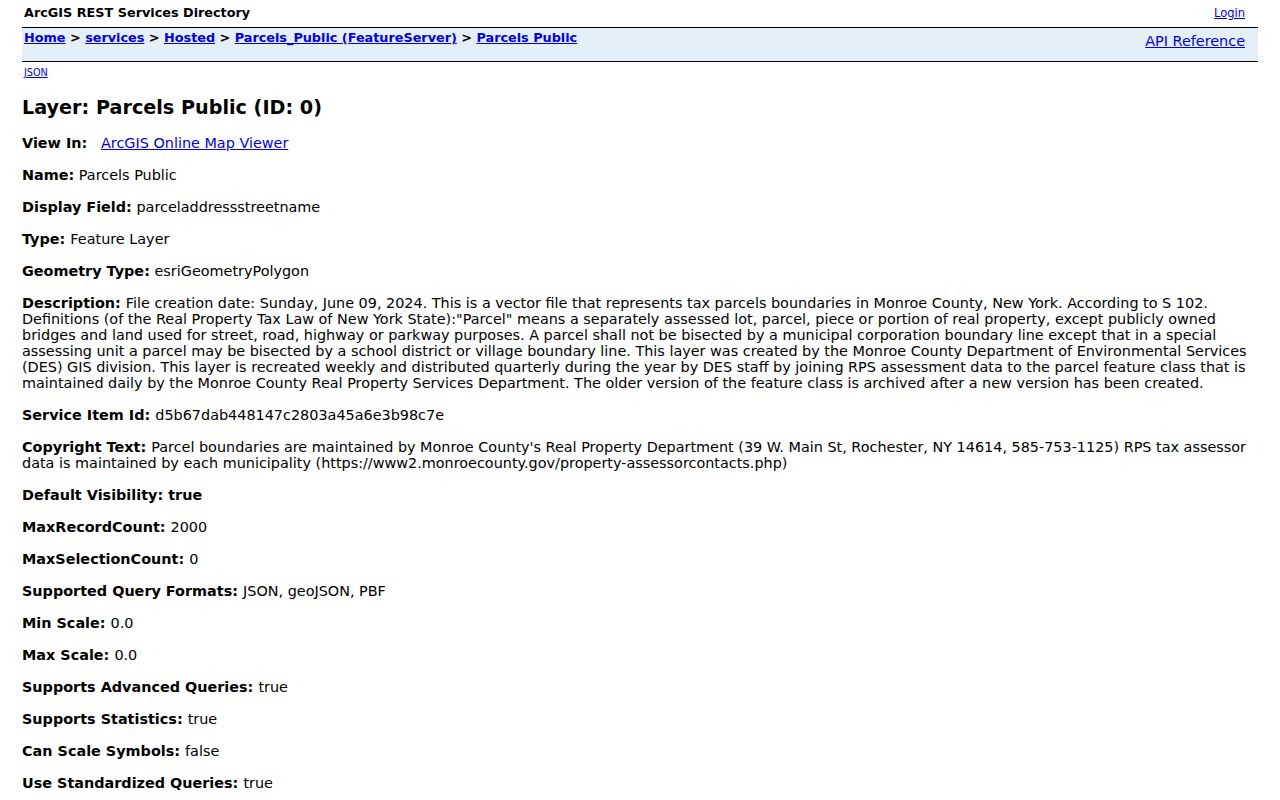
The layer is a strong geographic reference. Its postal attribute is still a parcel-system value, so the USPS result remains the address-format authority.
Find Residents by Irondequoit ZIP
A ZIP narrows a search area, but not every source treats it as a direct filter. The assessment roll includes ZIP within address fields rather than offering a primary ZIP search. The Monroe GIS layer carries the parcel ZIP field and the boundary layer. The county voter lookup uses ZIP with street, name and date of birth for an individual response. State license and registry tools have their own statutory purposes and result limits. Use each source only for the connection it can actually support.
- Run the exact address through USPS and save the formatted postal city and ZIP.
- Locate the same address in the Monroe Parcel Viewer. Record the SBL, parcel ZIP and any relevant boundary layers.
- Search the Irondequoit assessment-roll PDF by the address, owner name or SBL. Compare situs and mailing fields.
- When verifying a supplied person-address combination, use the Monroe voter lookup only under its election rules and required inputs.
- Move to the Irondequoit street directory when the question becomes a parcel or address trail rather than postal geography.
This order avoids a common shortcut: starting with a broad ZIP and treating every result as a current household. A ZIP can guide the map and address work, but the parcel and dated source identify the particular record.
Irondequoit ZIP Roll Searches
The Irondequoit Assessment Roll page publishes current and prior tentative and final PDFs. It recommends PDF searching by last name, street address or Parcel ID. ZIP appears as part of the address information, not as the roll’s primary search control. That makes the parcel or street a better entry point for a specific property, while the code remains useful as a comparison field.
The full roll row can include current owner, owner address, situs, parcel, class, assessed value, exemptions, school district, land description and deed reference. An owner mailing address may be elsewhere, so a row is not a resident list. Compare a result with the GIS parcel attributes and retain the roll year before drawing any time-limited conclusion.
The Town of Irondequoit Assessment Roll provides the annual PDFs and the owner, street and parcel search guidance.
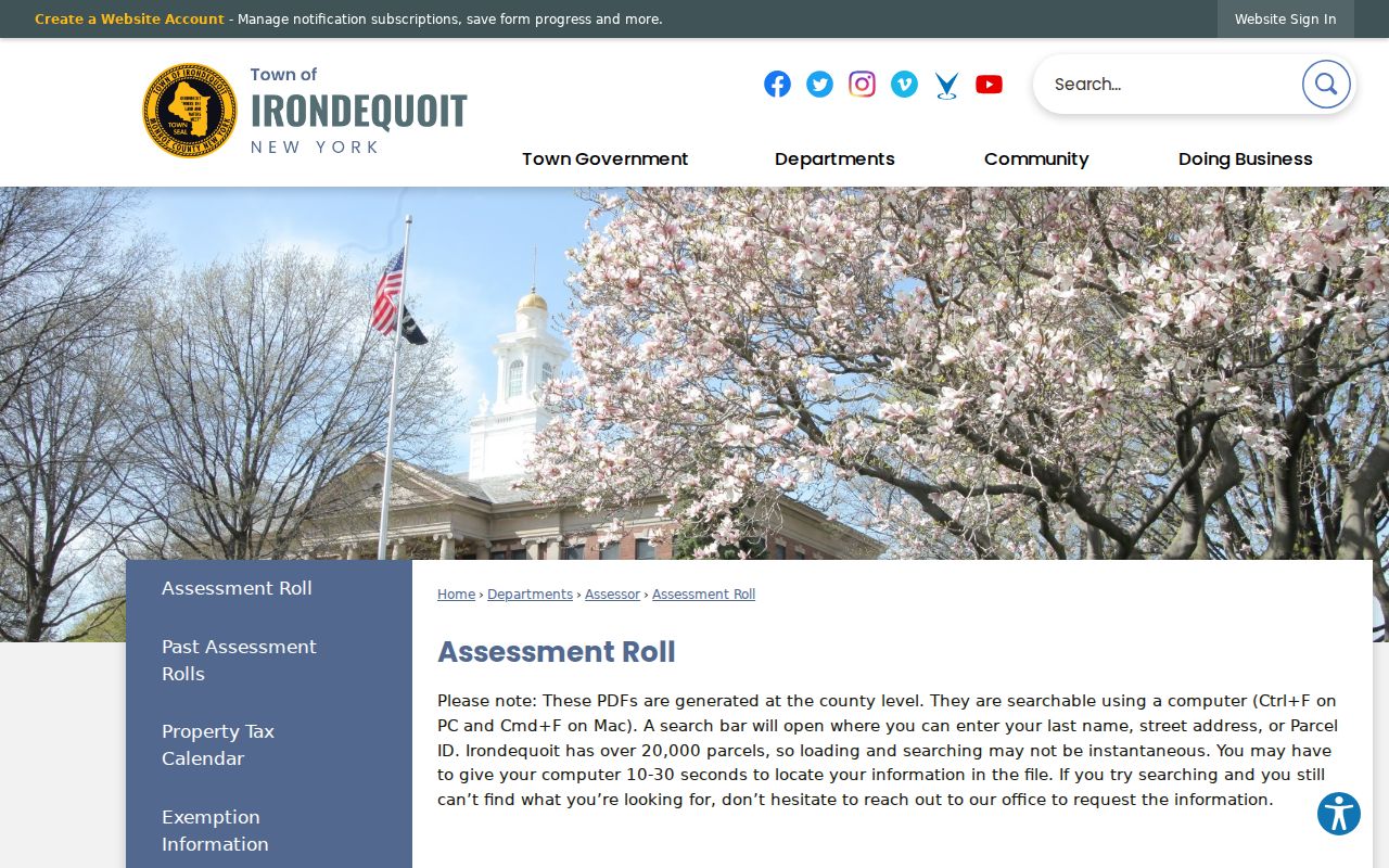
Download the selected roll before searching a long record. The PDF format makes it practical to compare the street form, SBL and owner or mailing fields in one dated entry.
Irondequoit ZIP Code and Town Lines
ZIP boundaries, municipal lines, parcel polygons, school districts, voting precincts and voluntary association areas are separate geographies. A street can have a Rochester postal city while lying in the Town of Irondequoit. An association may describe an area smaller than a ZIP. The town neighborhood-code map is helpful for local context, but it is not a postal or census boundary. Label each source by the geography it actually represents.
- ZIP and ZIP+4
- A ZIP identifies a delivery area. ZIP+4 adds a more precise delivery segment and does not replace the street address.
- PO-box ZIP
- A postal code used for post-office boxes. It is not a claim about the property location of a box holder.
- Unique ZIP
- A code assigned to one organization or address group. Its use does not make that organization a town boundary.
- Carrier route
- A postal delivery sequence used for mail handling. It is different from a parcel, neighborhood or voting boundary.
Use three labels when they disagree: USPS ZIP, Monroe GIS parcel polygon and voluntary association area. Keeping those labels separate is more accurate than forcing them into a single city field.
Edge Cases for Irondequoit ZIPs
Do not add 14580 to a town-wide Irondequoit list merely because an external map or ZIP Code Tabulation Area touches the Webster edge. The county’s local boundary layer supplies the four practical starting areas listed above, and an exact USPS check controls the final postal answer. A ZCTA is a Census geography built for statistical reporting, not a delivery instruction or municipal boundary.
Historic addresses add a second edge case. The 1930 directory may show “Roch” or “R D 7 Roch” beside an Irondequoit address. Older legal descriptions may name a farm, lot or road instead of a current number. For those records, keep the printed postal clue, map the legal or street description to a parcel where possible, and avoid silently replacing historical wording with a modern ZIP.
That restraint keeps the ZIP code directory useful for family history, property curiosity and careful address verification. A code is one layer in the record trail, never the complete identity of a place or person.
When a result seems unusual, document the exact address, the postal city returned by USPS, the code shown in the parcel layer, and the date of each check. The Town assessment roll can then supply the dated parcel context, while the County map shows where the parcel falls in its own geography. These records complement each other, but neither should overwrite the address format supplied by the postal service.
For an older address, save the original directory wording before standardizing anything. “Roch” and rural-route notation can be important retrieval clues in local directories, even though neither replaces a current ZIP. Compare the historic line with a parcel map, then keep both the original source form and the current USPS result in the research notes.