
Trace an Irondequoit Street Directory
An address-based search works best as a short chain. The Town of Irondequoit assessment roll can locate the tax parcel and the owner shown for that roll year. Monroe County GIS then adds the parcel shape, SBL, ZIP and other map attributes. The Monroe County Clerk index can connect a current deed reference to earlier transfers. Dated directory entries add a historical person-place lead, but they do not convert an owner record into proof of present occupancy.
- Download the applicable Irondequoit assessment-roll PDF and search the house number plus street. Save the roll year with the result.
- Use the address or SBL in the Monroe County Parcel Viewer. Record the parcel key, property location, ZIP and the map layers used.
- Compare the owner and mailing fields with the property location. A mailing address can point away from the parcel.
- Use the deed book and page, or the parties shown by the Clerk index, to follow the legal transfer trail.
- For an earlier address association, check the Rochester Public Library suburban directory volumes and preserve the printed postal notation and year.
Keep the address spelling, direction, unit or lot, postal city and parcel identifier as separate notes. The town roll, GIS layer and a historical directory do not format addresses the same way. That small discipline prevents a familiar street name from joining the wrong parcel to the wrong record.
Irondequoit Street Roll Fields
The annual roll is the strongest starting record for an Irondequoit property, not a roster of everyone connected to an address. The 2026 final roll is a 5,333-page index. It can show the current owner, owner mailing address, property location or situs, parcel information, class, assessed values, exemptions, school district, land description and deed reference. The Assessment Roll page advises searching the PDF by last name, street address or Parcel ID.
The Town Assessment Roll page provides the annual PDFs and the search guidance used for an Irondequoit by-street search.
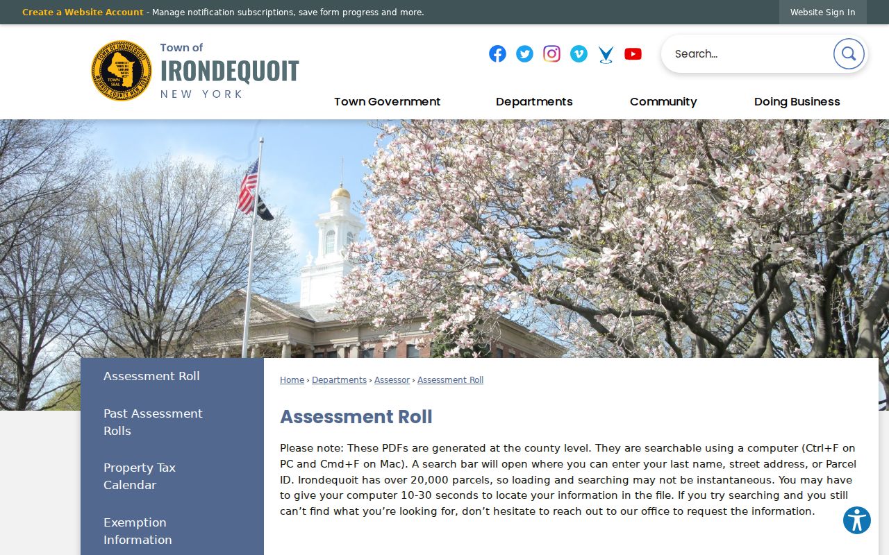
The roll landing page directs a user to the year-specific documents. Select the correct year before comparing the owner, mailing, situs, and parcel fields for a street result.
| Roll search key | How it works | What to preserve | Limitation |
|---|---|---|---|
| Owner or last name | Browser or PDF text search | Name spelling and roll year | An entity name may be formatted differently. |
| Street address | Search house number and street text | Property location and directional form | Street spelling can vary between sources. |
| Parcel ID or SBL | PDF text search | Stable tax-map identifier | It identifies property, not a resident. |
| Result row | Read the complete row | Class, assessment, exemptions, school and deed reference | It is a dated tax record. |
The town’s Tax Information page shows the house-number and street workflow used for the tax lookup.
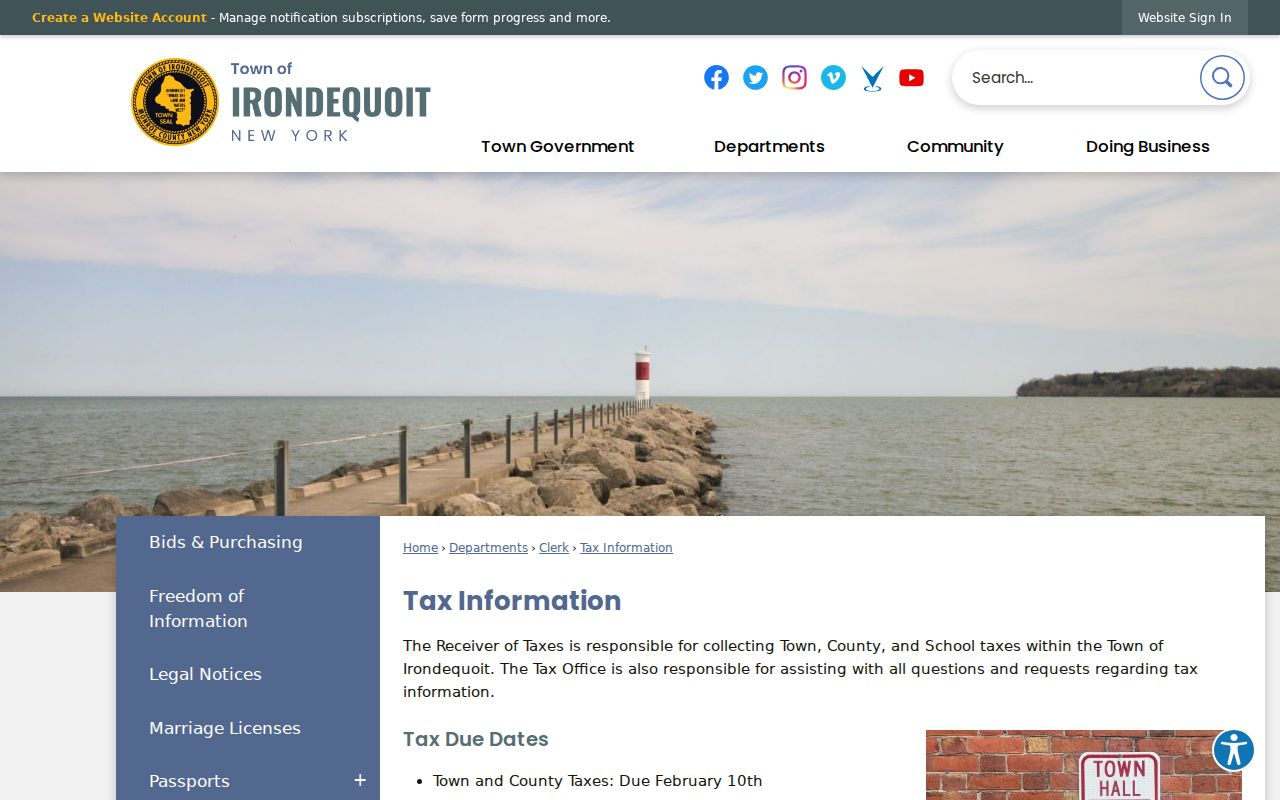
The companion tax lookup begins with a house number and selected street. Its bill and payment views are useful for tax research, yet a tax payment result should remain distinct from ownership or occupancy evidence.
Irondequoit Street Parcel Viewer
Monroe County GIS is the map leg of an Irondequoit street search. Search or zoom to the address, turn on parcel boundaries and relevant layers, then identify the target polygon. The public parcel layer contains SBL, address components, ZIP, acreage, roll year, assessment data, school district, physical characteristics, neighborhood code, historical book/page and geometry. It does not publish an owner-name field, so use the roll or real-property system when an owner field is needed.
Adjacent parcels should be identified one at a time. The public viewer supports parcel search, map click, layers, print and share workflows. Its published metadata supports structured spatial queries, but the inspected viewer did not provide a dedicated one-click export for every nearby parcel. A parcel line establishes physical geography. It does not establish a household list.
- Parcel or SBL
- A tax-map identifier that keeps a property tied to the same record set even when address wording changes.
- Situs address
- The property location used by the assessment system. It can differ from the owner’s mailing address.
- Plat
- A map that lays out lots, roads or subdivisions and can help bridge a legal description to a modern parcel.
- Criss-cross directory
- A directory arranged by street and house number, used to find a dated name associated with an address.
Irondequoit Street Directory Evidence
Each address-keyed source supports a narrower claim than the phrase “who lives here.” The roll supports a tax-roll owner and parcel for its date. GIS supports parcel location and publicly exposed attributes. A deed supports named transfer parties and a legal property description. The voter tools answer a supplied person-and-address query under election rules. Permits or code files can identify an applicant, project or notice only when a specific existing record is released.
| Source | Search key | Relationship it supports | Access and caution |
|---|---|---|---|
| Assessment roll | Owner, address or SBL | Owner and taxable parcel for that roll year | Annual town PDF; not occupancy proof. |
| Parcel Viewer | Address, SBL or map click | Parcel geography and attributes | Public viewer; owner is omitted from the feature layer. |
| Clerk land records | Party, address, book or page | Legal transfer parties and property | Free guest index, with image-access limits. |
| Town tax lookup | House number and street | Tax bill and payment status | Do not equate billing with occupancy. |
| Town building or code file | Defined address and date range | Existing project or notice record | Counter inquiry or narrow FOIL request; no public permit index was located. |
A parcel number makes the chain more reliable than a street name alone. It can join the roll to the GIS geometry and help interpret a deed reference. Record the date on each source because an address association in a 1930 directory, a current roll owner and a later deed all describe different moments.
Irondequoit Street Deed Chain
For a legal property trail, start with the current grantee or buyer in the Monroe County Clerk index. Note the seller or grantor on that transfer, then search the seller as an earlier grantee and repeat. The grantor index can also trace a later sale forward. A liber, also called a book, and page point from the index entry to the recorded instrument. Legal descriptions, subdivision names and lot numbers may remain more stable than a street number.
The Clerk’s online land index begins in February 1984. Its historical indexes, microfilm, deed books and other records extend the local chain back to 1821, with pre-1821 material connected to Ontario and Genesee County records. Since April 1, 2026, the guest online index is free while online images require a subscription. Public Clerk terminals continue to provide full index and image access without that online subscription.
The Monroe County Clerk records page documents the online database, historical access routes and Clerk services.
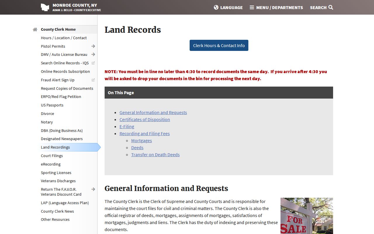
A deed chain identifies buyers and sellers. It does not establish that a named party occupied the property. When a copy or certification is needed, confirm the current Clerk fee and delivery route before ordering.
Irondequoit Street Directory in 1930
Rochester Public Library’s suburban directory series adds a valuable historical layer. Irondequoit appears in the suburban directories from 1930 through 1940, and the 1930 volume has a dedicated Irondequoit section. A printed entry may include a name, spouse, occupation, street address and postal destination. Search the street and house-number portions for a criss-cross style lead, then compare the next available edition before treating similar names as the same person.
Postal wording matters in these volumes. The 1930 instructions warn readers not to use “Irondequoit” as a mailing address and show parenthetical postal forms such as “Roch.” Preserve the entry as printed. The old postal city can explain why a person-place trail looks different from the current town name. The fuller collection context belongs with the Irondequoit city directories, where the directory years and reading conventions can be compared without replacing modern parcel evidence.
Irondequoit Street Address Fields
One local trap is collapsing the property location and the owner mailing address into one field. The 2026 roll illustrates the difference: a property may have an owner address that matches its situs, a corporate owner with a Rochester post-office-box mailing address, or more than one current owner. Those are samples of record structure, not conclusions about who resides at any property.
Preserve historical street spelling, house number, unit or lot, current situs, postal city, ZIP, parcel or SBL and source date separately. The GIS layer itself separates number, prefix, street name, suffix, post-direction, city, ZIP and unit fields. Search names with and without directional prefixes or common abbreviations. That approach also helps when an old rural-route notation, subdivision name or road change obscures an otherwise familiar street.
Owner is not occupant. A roll owner, mailing address or deed party cannot identify every person at a location. Keep any address research to a lawful personal purpose, and never use it to stalk, harass or harm anyone.
Irondequoit Street Record Requests
Irondequoit’s public Building and Code Enforcement pages describe permit, inspection, certificate-of-occupancy, violation and related address records, but they do not provide a complete searchable permit index. A narrow request should identify an existing record, the street or parcel, the date range and the preferred electronic format. A request can seek a permit card, inspection record, code notice or dated planning packet. It should not ask the town to create a new compilation.
The Monroe County voter lookup is also person-specific, not a street export. Its form uses street number, street name, ZIP, last name and date of birth to return a registration or polling response for the supplied search. Election Law restrictions apply to voter-file requests, and protected information is excluded.
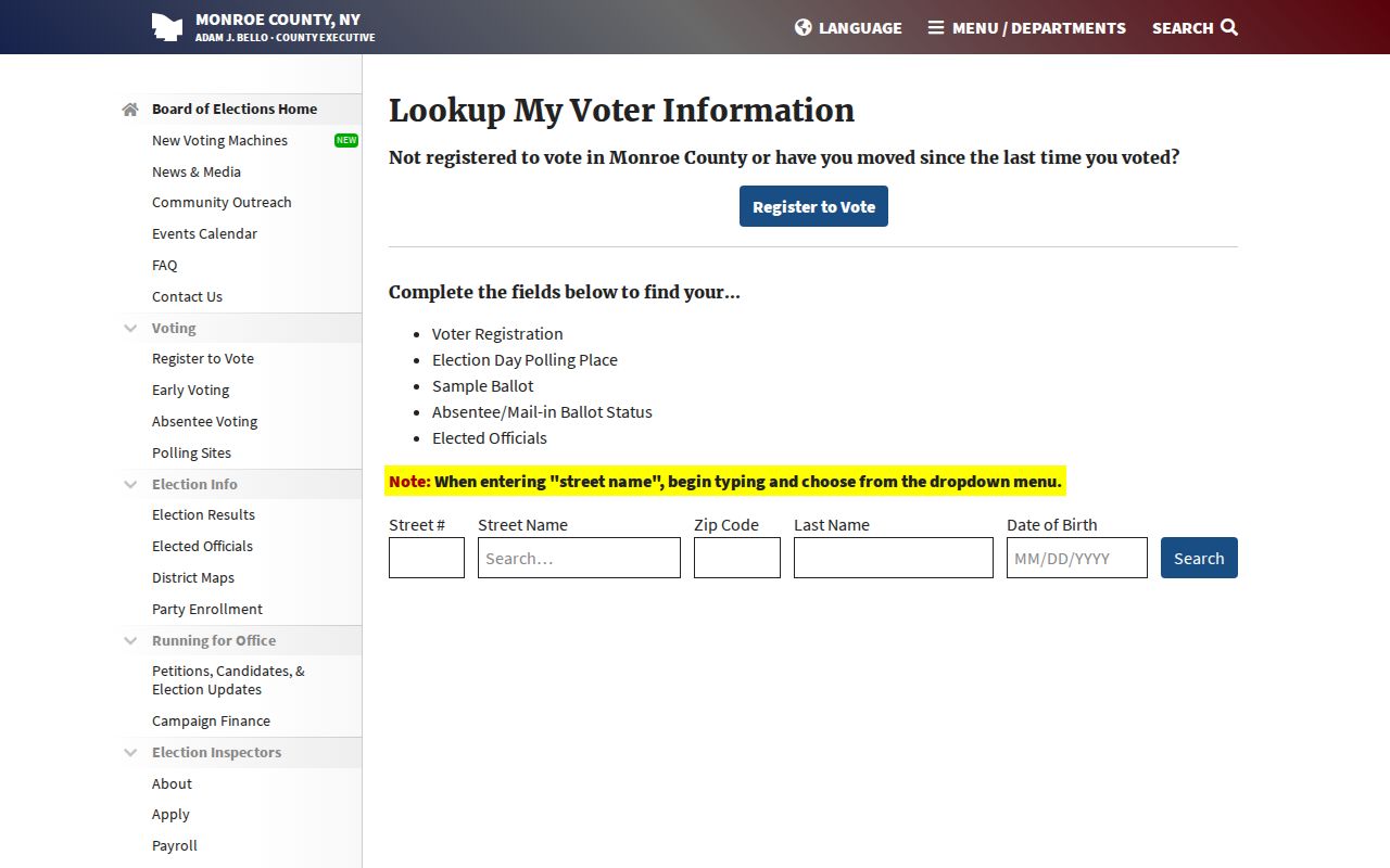
The form demonstrates why voter verification should be used only for a supplied identity and address. It is not a public mechanism for making a list of people along an Irondequoit street.
Irondequoit Street History Leads
Older address research must bridge record systems. Irondequoit formed from Brighton in 1839, and Monroe County was organized in 1821. A nineteenth-century land record may describe a farm, lot, creek or road rather than a modern number. Compare the legal description with a plat or map, then connect it to a parcel and a directory street. The Monroe County Historian’s Rochester renumbering note for 1884–1885 is a regional warning, not proof that every Irondequoit road was renumbered.
Historic-resource research can add a useful property lead. The town’s 2025 reconnaissance survey identified potential districts and more than 100 individually eligible properties, but it is not exhaustive and does not establish who lived at a location in any given year.
The Irondequoit Historic Preservation Commission describes the survey and its local-history purpose.
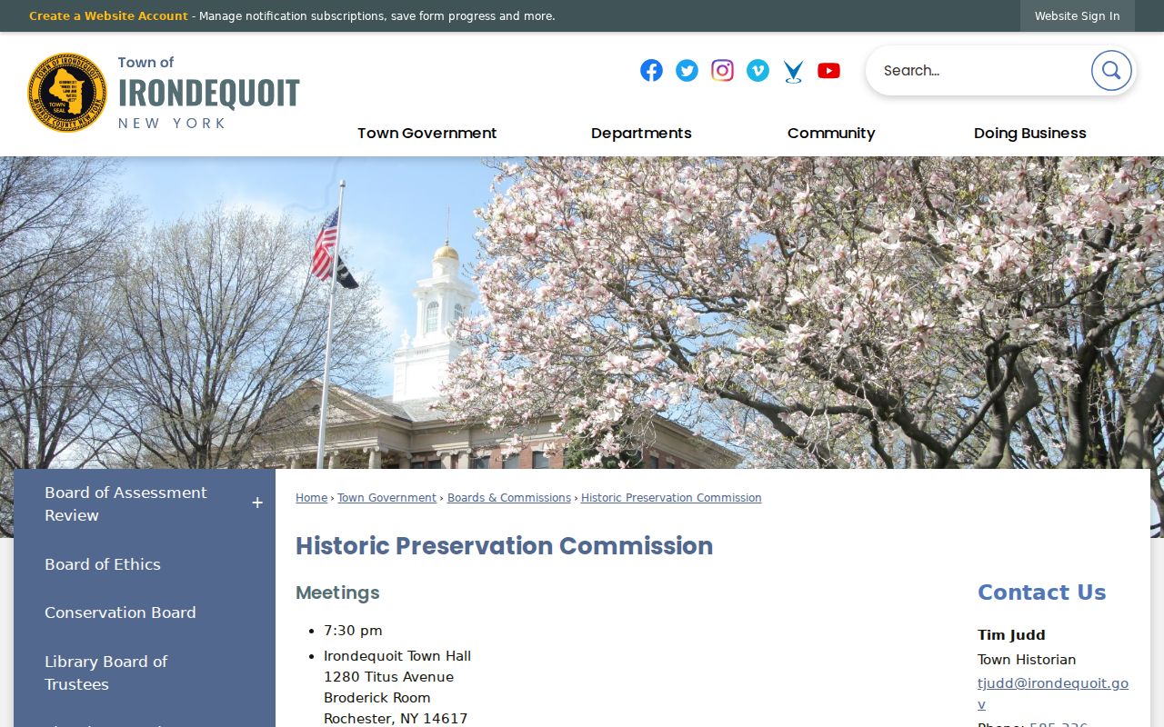
Use a survey-listed property as a prompt to inspect deeds, maps, directories or town records. It is a historical lead, not a resident record.
Limits of an Irondequoit Street Directory
No public Irondequoit street directory can establish every current occupant or every member of a household. Utility customer data and DMV personal address data are not public street-source material. The state Address Confidentiality Program, protected voter records and other privacy rules can also remove or limit records that might otherwise seem relevant. A blank search result can reflect source scope, date, spelling or a lawful restriction.
Use the relationship stated by each custodian: parcel ownership, dated directory association, recorded transfer, tax billing, map geography or a limited voter response. For a hard-to-match property, retain the searches attempted and the source years. That record of method is more useful than filling a gap with an unsupported identity claim.
For an address that changes form across sources, begin with the parcel or SBL and work outward. Check the roll year, then compare the GIS address components, historic directory wording, and deed legal description. If the values still conflict, the Town Assessor, County Clerk, or library collection is the proper next stop. That sequence protects a street search from turning a similar-looking address into a false result.