
Irondequoit Neighbors by Block
Public records describe a block in layers. The parcel map supplies the shape and identifier for each lot. The assessment roll adds a dated owner and mailing field. The deed index documents transfer parties, while the voter lookup only answers a supplied identity-and-address question. Irondequoit's voluntary neighborhood map helps place an address in civic context, not identify every person nearby. Use the source that fits the question and state the limit of the result.
| Block source | What it says about nearby parcels | Access route |
|---|---|---|
| GIS parcels | Touching polygons, SBL, ZIP, acreage, and physical fields | Public viewer and REST layer; owner join required |
| Assessment roll | Current roll owner and owner mailing address for a selected parcel | Town PDF by street, owner, or parcel |
| Deed index | Transfer history for each chosen parcel | County Clerk index or public terminal |
| Voter lookup | Supplied person's registration or polling response | Person-specific county or state search |
| Neighborhood finder | Voluntary association area and current map status | Address autocomplete and map, no member list |
| Historical directory | Dated address and occupation clues | RPL digitized or on-site collections |
Ownership is not occupancy. The same parcel may have an entity owner, several printed owners, a mailing location away from the property, or private household members who are not in any public block index. Treat each parcel result as a dated property fact, then stop short of asserting who lives there.
Irondequoit Neighbor Definitions Matter
“Neighbor” can mean a touching parcel, the same side of a street, the lots across the road, a voluntary association area, or a voting precinct. These choices do not produce the same group. The Monroe viewer makes the first three practical because parcel polygons, roads, buildings, ZIP boundaries, and town layers can be inspected together. A neighborhood association is a separate social geography, often broader or narrower than the parcel block.
Write down the definition before searching. For example, “touching parcels and the parcels opposite the street” is repeatable. “Everyone in the neighborhood” is not, because a neighborhood name may have a voluntary boundary and it does not establish membership, a roster, or residence. This simple choice prevents a map search from becoming an overbroad people search.
Note: Preserve the selected map layers and the search date because parcel displays and association status can change.
Mapping Irondequoit Neighbor Parcels
Use the Monroe County Parcel Viewer to find a target address or SBL, then identify the selected polygon. Turn on parcels and the boundary layers that help separate a street segment from a nearby but unrelated address. Click each parcel that touches the target or lies across the same road. The viewer can print or share a map, but the inspected information did not show a dedicated export for every property within a radius.
Block flow: address or SBL → target parcel polygon → touching and opposite parcels → each parcel's SBL → dated assessment-roll owner → Clerk deed lead where a transfer question remains.
Use the parcel identifier as the join key. The public GIS layer provides geometry, SBL, acreage, structure information, neighborhood code, ZIP, and related spatial attributes. It does not place an owner name directly in the public parcel feature layer. The assessment roll supplies the separate owner field for a selected parcel and year.
For a whole named street rather than the immediate block, use the broader workflow in the Irondequoit street directory. That search follows an address chain; the neighbor method stays focused on the adjacent parcels.
Irondequoit Neighbors Through Parcel Joins
The Town assessment roll is the next stop after a parcel map. The 2026 final roll can be searched by owner, street address, or parcel ID. A result can show the property location, current owner, owner address, class, assessed and taxable values, exemptions, school district, parcel details, coordinates, account number, and deed book/page. Read the whole row before copying any field.
An owner mailing field may be different from the property location, and the record can print an entity rather than an individual. The roll does not confirm an occupant or every member of a household. That limitation is especially important when comparing adjacent parcels. A person name is a roll-year ownership clue, not a finding that a particular person is an Irondequoit neighbor.
The assessment-roll page provides the annual PDF route pictured below.
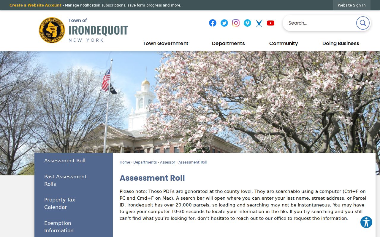
Keep the SBL, roll year, property location, and owner field together so a later deed or map check can be reconciled to the same parcel.
When a selected parcel needs a transfer check, carry its deed book/page or legal description to the Monroe County Clerk records index. Online land-record access begins in February 1984, while older chain work can require historical grantor/grantee indexes, microfilm, deed books, or Clerk terminals. Search the present buyer as a grantee, then the earlier seller as a grantee to move backward. That identifies the transfer chain for a parcel; it does not establish who occupied the property between transfers.
Record the source date and the precise parcel key at each step. Older instruments may describe a lot, subdivision, or legal description that explains a map result better than a present street number. Save a shared map link only when it is needed to document the selected layers.
Irondequoit Neighbors and Voter Boundaries
The Monroe County voter lookup accepts street number, street name, ZIP, last name, and date of birth. Its outputs include registration, Election Day polling place, sample ballot, mail-ballot status, and elected officials for the supplied search. It is designed to answer a particular voter question, not to reveal all voters on a block. The New York lookup likewise requires a supplied identity with county, name, date of birth, and ZIP.
Election Law §§3-103 and 3-220 place a use condition on voter files. State voter-data requests require an elections-purpose certification, and certain identifiers and signatures are excluded from public disclosure. A current polling-place response should not be used to reconstruct a past residence. Where an address is protected, do not look for an indirect way around that protection.
Note: A precinct, a postal ZIP, and a voluntary neighborhood are three separate boundaries with different public records.
Irondequoit Neighborhood Context
The Irondequoit Neighborhoods finder uses address autocomplete and a map that distinguishes established or in-formation, proposed, and inactive association areas. The umbrella organization supports resident-led associations and a Roundtable. Its finder is useful for place names, civic contacts, and local activity, but it does not publish a resident-by-resident directory.
Nowadoga
Nowadoga is described as an established association centered on Sagamore Drive, with development beginning in 1922.
Maywood
Maywood is listed as established and notes a book club, an example of community activity rather than membership evidence.
Huntington Hills
Huntington Hills publishes minutes, tax maps, EPOD maps, bylaws, and project updates for civic context.
The finder image below comes from the association source. Use its status colors as a current map reference and confirm the live result before relying on a named association.
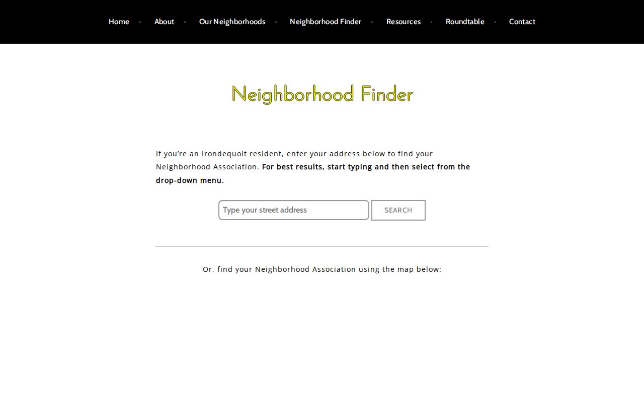
Association names help describe a block's setting, while member lists and private contact details remain outside a public neighbor search.
Irondequoit Neighborhood Names Are Not Membership
Myth: a parcel inside an association-shaped area proves that its owner or occupants belong to the association. Irondequoit associations are voluntary, democratic, and resident-led. An address result can identify an area and a contact path, not confirm participation. Some pages list no active association, including The Flats, Wakefield, and Sea Breeze at the time of the research.
The town's Neighborhood Associations directory adds public organizational links such as Friends & Neighbors of Seneca Park, Helping Irondequoit Plan for Progress, Irondequoit Neighborhoods, and Parkside Neighborhood Watch. These are civic leads. Do not request or republish private membership lists simply because a group is local.
Irondequoit Neighbor Source Comparison
Official records keep their relationship to the parcel visible. The map identifies geography, the roll identifies a dated owner, and the deed index identifies transfer parties. Commercial neighbor tools may blend public filings with brokered material, stale addresses, and namesake matches. A block conclusion should remain tied to the official source and date instead of treating an inferred household as fact.
| Official parcel route | Commercial neighbor category |
|---|---|
| Shows the parcel, SBL, roll year, or recorded transfer with a named custodian. | May combine sources without making a precise parcel-date relationship clear. |
| Lets a reader recheck the map, roll, or Clerk index directly. | Can retain stale or mismatched address data and needs separate correction routes. |
| Supports a narrow, documented property question. | Can overstate a possible association as a current household fact. |
For an older block question, Rochester Public Library's 1930 to 1940 suburban directories can add dated street, occupation, spouse, and postal clues. They are historical source material, not a current list of Irondequoit neighbors.
Irondequoit Neighbor Privacy Limits
New York FOIL provides access to many agency records while allowing privacy and safety protections. Do not compile renters, household members, children, protected voters, Address Confidentiality Program participants, utility customers, personal contact details, DMV addresses, or confidential victim information into a block list. The Address Confidentiality Program uses a substitute mailing address for eligible people and government agencies must accept it.
A parcel can adjoin another parcel without creating a right to identify every person connected with either address. When a town record is needed, request a narrow existing item by address and date under the Town's FOIL process. Expect the agency to review private information and withhold or redact it where required.
Lawful use. Use Irondequoit neighbor records for personal, lawful research and do not use map, roll, or association information to stalk, harass, intimidate, or harm anyone.
Note: Keep the result at the parcel or civic-context level when a source does not lawfully establish a person’s connection.